Tiếng Việt
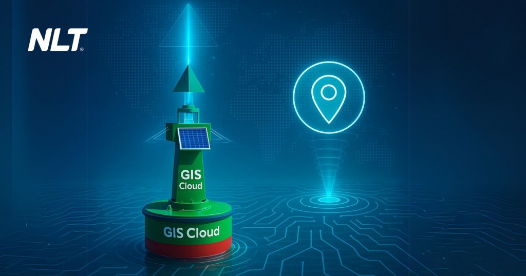
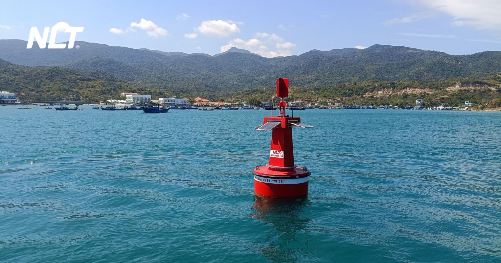
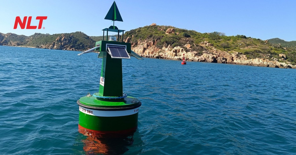
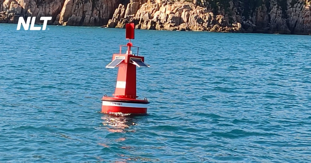
In inland waterway transportation, navigation buoys are not merely floating devices; they are critical elements that ensure safe and orderly vessel movement. However, in many regions, these systems are still managed manually, with limited connectivity and insufficient monitoring.
This raises an important question: are we missing the opportunity to modernize the entire navigation infrastructure? GIS Cloud technology provides the answer, enabling real-time buoy tracking, intuitive data analysis, and a comprehensive upgrade to how waterway infrastructure is managed. In this article, we explore what GIS Cloud is and why it is rapidly becoming the new industry standard.
GIS Cloud – The “brain” behind intelligent navigation buoys
Decoding GIS Cloud technology
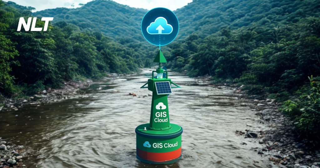
At its core, GIS Cloud technology is a system for managing, analyzing, and visualizing spatial (geographic) data entirely on a cloud-based platform. It allows data to be collected directly from the field (including GPS coordinates, device status, object geometry, etc.), synchronized in real time, and displayed through interactive, visual maps.
Unlike traditional GIS software, which is often bulky and dependent on workstations or local servers, GIS Cloud offers complete operational flexibility. Managers can access the system anytime, anywhere, using only an internet-connected device.
The power of GIS Cloud in navigation buoy data management
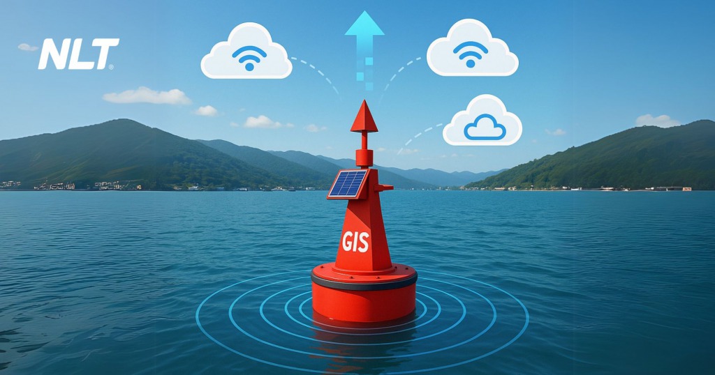
With the support of GIS Cloud technology, navigation buoy systems no longer operate in “silence.” Every device, from channel-marking buoys to special-purpose buoys, is precisely located on the map, with real-time operational status, movement history, and an individual inspection record.
If a buoy drifts from its designated position, a signal light stops functioning, or a solar battery weakens, GIS Cloud technology immediately records the fault signal and sends alerts to the operations center. This not only shortens response time but also minimizes accident risks and optimizes personnel costs in waterway infrastructure management.
>> See more: New technologies in navigation buoys – What makes solar energy superior?
Data analysis and visualization – Turning raw information into “gold”
Thanks to real-time data visualization, managers can do more than simply “see” buoy positions on a map. They can interpret system conditions, detect channel deviation trends, assess risk levels by area, and plan maintenance more effectively. The system goes beyond monitoring; it enables predictive and proactive management—this is the fundamental difference between intelligent technology and manual operations.
For example, if a specific area shows an unusually high rate of buoy failures during the rainy season, the system highlights the zone with warning indicators, allowing rapid decision-making instead of waiting for incidents to occur before reacting.
>> See more: Cloud for GIS Systems – Geospatial World
Multi-purpose applications of GIS Cloud in navigation buoy operations
Real-time monitoring and tracking
With traditional buoys, determining the status of a navigation buoy requires personnel to visit the site, visually inspect the device, and record information manually. This process is slow and creates blind spots in monitoring, especially during off-hours or adverse weather conditions.
When GIS Cloud technology is applied, all buoys are monitored in real time through integrated sensors such as GNSS positioning, signal light sensors, battery level sensors, and tilt sensors. The system not only displays the location of each buoy but also continuously updates operational status, enabling operators to detect anomalies at a glance.
Remote maintenance management and fault handling
With GIS Cloud support, every device is assigned a unique identifier and stores a complete history of inspections, replacements, repairs, and actual operating timelines. Maintenance data is no longer scattered across separate spreadsheets but integrated directly into the map-based interface.
When technical issues occur, engineers can perform remote actions such as restarting sensors, sending test commands to signal lights, or reconfiguring the system without visiting the site. This saves travel time, reduces labor costs, and significantly enhances overall system reliability.
Decision support and traffic flow optimization
GIS Cloud is not just a monitoring tool; it is a powerful analytical platform for strategic decision-making. Through visual dashboards, heat maps, and smart filters, operators can track abnormal buoy behavior.
These insights help authorities decide whether to reorganize navigation channels or adjust the density of channel-marking buoys to reduce accident risks and improve traffic efficiency.
Enhancing rescue operations and emergency response
In waterway transportation, unexpected situations such as vessel collisions, broken mooring lines, or severe weather can occur at any time. Quickly locating incident sites and understanding the status of nearby equipment is critical for rescue operations.
When buoy systems are connected to GIS Cloud technology, command centers can instantly identify affected areas and locate the nearest buoys. This enables rapid response teams to plan optimal access routes and deploy rescue equipment accurately, rather than operating with limited or unclear information as in the past.
Benefits of GIS Cloud in inland waterway transportation
Enhancing maritime safety
The adoption of GIS Cloud technology is not merely a technological upgrade, but a strategic solution to ensure safety across all inland waterway transport activities. With GIS Cloud, all data from navigation buoys is closely monitored and responded to in real time. This ensures that whenever incidents such as buoy drifting or signal loss occur, alerts are immediately triggered and transmitted to the operations center, enabling early prevention of collisions, navigation errors, or river accidents.
Optimizing management resources
Instead of organizing time-consuming and costly periodic inspections, GIS Cloud allows authorities to monitor the entire buoy system on real-time digital maps, with continuously updated and highly accurate data. Manual inspections become unnecessary, as all actions are driven by actual data and clearly prioritized, helping optimize manpower, time, and operational costs.
Reducing human-induced risks
When GIS Cloud technology is integrated into navigation buoy systems, river operations no longer rely on chance. Managers can observe the real-time operational status of each buoy device and proactively address issues before they escalate into risks. This significantly reduces errors caused by delayed detection or human oversight.
Improving emergency response capability
In unexpected situations such as storms, floods, or vessel collisions with buoys, response time is critical. With GIS Cloud systems, abnormal points along navigation channels are detected instantly, and data is transmitted directly to command centers without intermediaries. This enables authorities to deploy emergency response measures quickly and accurately, without losing valuable time searching for information manually.
Challenges in deploying GIS Cloud technology
Barriers to implementation
Although deploying GIS Cloud technology in inland waterway navigation buoy systems is technically feasible, it faces numerous practical challenges. High initial investment costs, uneven data infrastructure across regions, and long-standing reliance on manual management are common obstacles. In addition, operational teams often lack systematic training, show hesitation toward digital tools, and face unclear legal frameworks regarding inspection standards and data connectivity, all of which complicate implementation.
A promising outlook for the future
Despite existing barriers, the digital transformation of inland waterway transportation is irreversible. GIS Cloud offers comprehensive management capabilities, cost efficiency, and enhanced safety. With national digital transformation policies, the rapid development of cloud platforms, and the widespread adoption of IoT devices, large-scale deployment is only a matter of time and commitment. This is not just a technological advancement, but a foundation for building a modern, transparent, and proactive inland waterway transport system.
Technical barriers and investment costs
Deploying a digitalized system such as GIS Cloud requires not only modern technological infrastructure but also substantial initial investment to meet hardware, software, and human resource requirements. Not all organizations are ready to allocate sufficient resources for advanced technology, especially those with limited budgets or lacking long-term digital transformation strategies.
Network connectivity in remote areas
Stable and continuous network connectivity is a key factor for effective GIS Cloud operation. However, not all inland waterways are covered by high-quality network signals, particularly in remote or isolated regions. When connectivity is unstable or interrupted, the transmission of positional data, alerts, and remote control commands is affected, disrupting information flow and compromising real-time functionality. Without accompanying network infrastructure solutions, GIS Cloud deployment in remote areas will remain unstable and reactive.
Awareness and operational capacity of management personnel
Technology is only a tool, people determine the success of any system. In reality, many personnel directly responsible for inland navigation aids are still accustomed to traditional methods and lack formal training in digital technologies, making it difficult for them to adapt to new software platforms. Deficiencies in digital skills, modern management thinking, and data analysis capabilities are among the biggest barriers preventing GIS Cloud from reaching its full potential.
Solutions to promote effective GIS Cloud deployment
Human resource training
No digital system can deliver its full value without a workforce capable of operating and leveraging it effectively. For GIS Cloud, deployment is not simply about installing new software; it represents a comprehensive shift in mindset and working methods. Users must not only master technical operations but also understand the associated workflows and operational processes.
Integrating AI and IoT technologies
To ensure that GIS Cloud evolves beyond a static map displaying locations into a truly proactive management platform, integrating AI and IoT technologies is essential. When sensors are directly installed on navigation buoys and automatically transmit data to the system, a continuous, real-time information stream is established, independent of human intervention.
Government policy support
Policies on public investment budgets, technical support mechanisms, equipment standardization, and operational procedures must be issued promptly and consistently to encourage local authorities to confidently adopt new technologies. In addition, incorporating GIS Cloud into transportation training programs, organizing workshops, disseminating knowledge, and sharing implementation experiences among provinces will serve as critical drivers for promoting uniform and sustainable digital transformation nationwide.
Conclusion
GIS Cloud technology is not only a technical advancement but a clear statement that inland waterway transportation can be managed intelligently, modernly, and transparently—if we are willing to embrace change. The adoption of GIS Cloud not only reduces risks and improves operational efficiency, but also lays the foundation for a smart inland waterway transportation ecosystem.